Lesson 9 of 9 · about 16 minutes
Reading Water Right Records and IDWR Maps
You'll be able to
- Find water rights by number, owner or map location with IDWR's public tools
- Decode a water right's elements and a quarter-quarter legal description
- Trace a right's history through transfers, applications and well logs
- Describe a water right accurately in plain language
A water right is public record, and IDWR puts nearly all of it online. Most people never look. Ten minutes in the database will tell you more than an hour of conversation, and it will tell you which questions are worth asking.
The tools
IDWR's water rights page lists these, as of October 2026:
| Tool | What it does | Use it to |
|---|---|---|
| Water Rights and Adjudication Search | Search records by number, owner and other fields; view documents; print a map | Pull a known right or every right held by a company |
| Map-Based Water Rights Search (also offered as the Irrigation Water Rights Finder) | Find rights on a map and open their documents; address search for irrigation districts | See every right near a proposed project |
| New Water Right Applications | Search applications for permits and amendments | Catch new claims early, before protest deadlines |
| New Water Rights Transfers / Existing Transfers | Search current and past transfer applications | Spot farm rights being moved to new uses |
| Statutory Claims | Claims posted in the last 30 days | See newly recorded existing uses |
| Well Construction Search and Find a Well Map | Driller reports and well locations | Check depth, date and water level of wells near a project |
| Administrative Basins map, PLS Grid, GIS Data Hub | Find the basin and decode land descriptions; download map layers | Locate records and view map layers, including the nitrate priority area layer |
Anatomy of a record
The record below is invented, but it is laid out the way the elements appear in IDWR's search results and decrees. Field names on the live site may differ slightly.
Worked example: decoding a right
Water Right No.:   47-01923         Status: Decreed
Owner:             Halvern Land & Cattle LLC
Source:            Ground Water
Priority Date:     05/14/1962
Beneficial Use:    Irrigation     04/01 to 10/31    3.10 CFS
                   Stockwater     01/01 to 12/31    0.04 CFS
Total Diversion:   3.14 CFS        Volume: 620 AFY
Point of Diversion: SWNE Sec. 14, T8S, R17E, B.M.
Place of Use:      Irrigation, 155 acres within
                   NE Sec. 14, T8S, R17E
Conditions:        Subject to mitigation plan participation ...
Read it line by line:
- Number. Idaho numbers rights by administrative basin, then a sequence number. Use the basin map to see which basin a number belongs to.
- Status: Decreed. A court confirmed it, likely in an adjudication. Stronger than licensed; far stronger than a claim.
- Priority 1962. In the ESPA, junior to the 2026 curtailment date of October 11, 1900, so it depends on mitigation plan coverage in a short year. The condition line says so.
- Rates. 3.10 cfs for irrigation April through October, 0.04 cfs for stock water all year. 3.10 times 448.8 = about 1,391 gallons per minute at full rate.
- Volume. 620 acre-feet a year. Over 155 acres, 620 divided by 155 = 4.0 acre-feet per acre, or 48 inches. That is a ceiling on diversion, not what the crop uses.
- Point of diversion. SWNE means the southwest quarter of the northeast quarter. A 40-acre square.
- Place of use. 155 acres inside the NE quarter of section 14, which is 160 acres. So almost the whole quarter is irrigated, typical of a pivot plus corners.
In plain language: "Halvern Land and Cattle holds a court-decreed groundwater right from 1962 that allows it to pump up to about 1,400 gallons a minute to irrigate 155 acres, according to state records."
Reading the legal land description
Rural Idaho is mapped on the Public Land Survey System, with Idaho's descriptions referenced to the Boise Meridian (B.M.). IDWR's glossary gives the sizes: a township is 6 miles wide and holds 36 sections; a section is 640 acres; a quarter section 160; a quarter-quarter 40; and a quarter-quarter-quarter 10.
Tracing a right's history
A single record is a snapshot. The real picture is usually in the history:
- Documents tab. Open the scanned decree, license, permit, field reports and correspondence. Field exam reports often describe what was actually irrigated.
- Transfers. Search existing transfers for the right number. Each approved change rewrites the place or nature of use. A string of transfers into one LLC is worth a call.
- Applications. Search new applications by owner name, the LLC, and the engineering firm that usually files for them.
- Wells. Use the Well Construction Search or Find a Well map to pull the driller's log for the point of diversion: depth, date and static water level when drilled. Compare to newer wells nearby.
- Delivery call lists. Check IDWR's curtailment and status summaries for the right number.
- Land records. Match the place of use to county parcel maps and the recorder's deeds. Water rights and land can be sold separately; deeds sometimes say so.
Common mix-ups
- Claim: The cfs on the record is what they pump. What the evidence shows: It is the maximum rate allowed. Actual use is often lower and shows up in measurement reports, if the district or IDWR requires them.
- Claim: If it is in the database, it is a valid right. What the evidence shows: The database includes permits, applications and claims. Check the status field.
- Claim: The owner name tells you who controls the water. What the evidence shows: Records can lag sales. Check the latest ownership change filings and the county deed.
Reporting angle
Checklist
- Right number, status, priority date and source
- Rate in cfs and gallons per minute; volume in acre-feet a year; season
- POD and POU decoded and matched to a parcel map
- Transfers and pending applications for the right and the owner
- Driller's log for the well, and nearby newer wells
- Curtailment exposure: junior or senior to the current date; mitigation plan coverage
- Any forfeiture question: evidence of use in each of the last five years
- Plain-language sentence checked against the record by a second person
Keep your notes in the Source Checker so each fact in the story points back to a document.
Research angle
- IDWR water right search: look up a right by number, owner or place.
- IDWR transfer query: pending and new transfers.
- IDWR well construction search: driller's logs.
- IDWR map experience: water rights on a map.
- IDWR nitrate priority areas map service: mapped nitrate areas.
- IDWR terminology: plain definitions.
Pictures, Numbers and Infographics
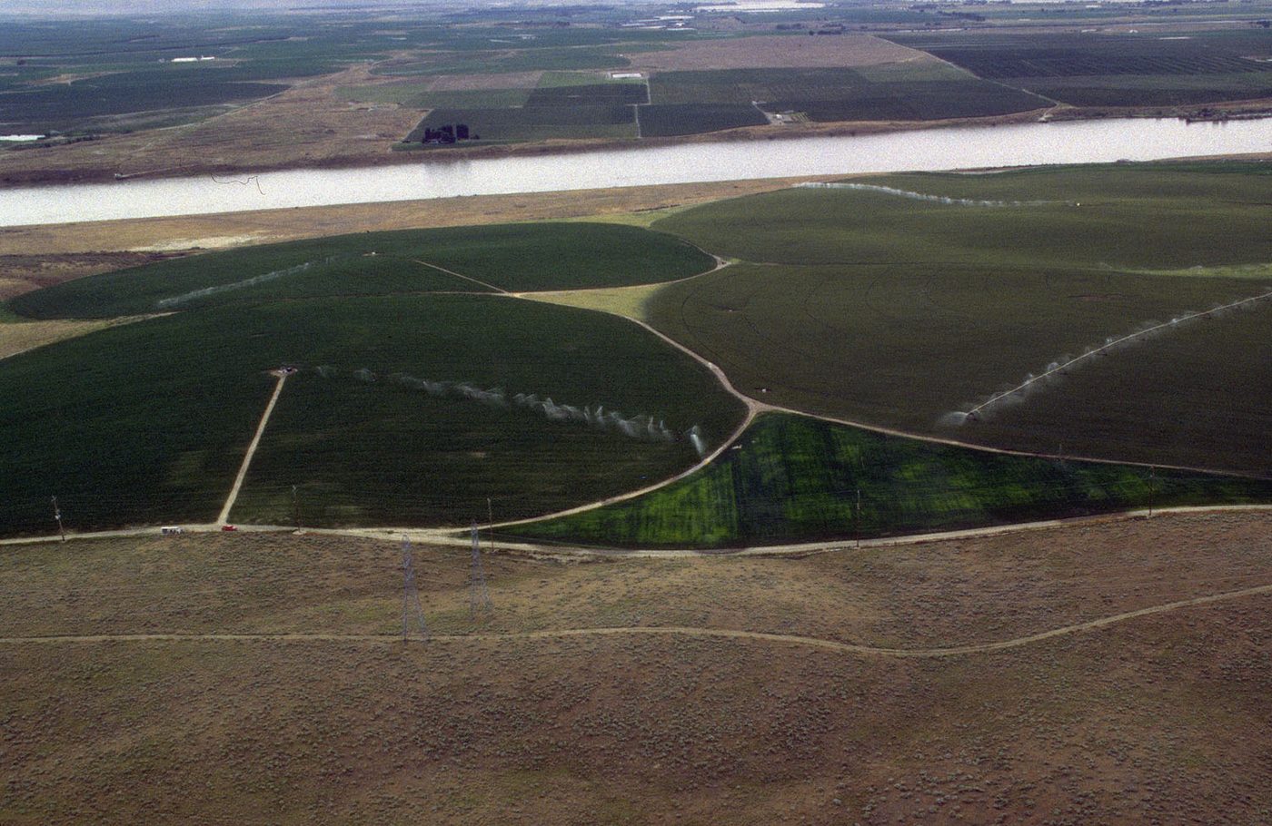
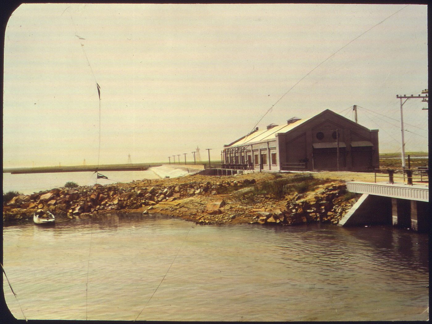
In southern Idaho the value of farm ground follows its water right. These figures show how big Idaho agriculture is, the price gap between irrigated and dry land, and the scale of the Snake River adjudication and curtailment fights.
By the numbers
- 22,877 farms: Idaho farms in 2022, down 8 percent from 2017, on 11,547,963 acres, down 1 percent. USDA NASS, 2022 Census of Agriculture, Idaho profile
- $10.89 billion: market value of Idaho agricultural products sold in 2022, 19th in the nation and up 44 percent from 2017. Milk alone was $3.73 billion, fourth in the U.S. USDA NASS, 2022 Census of Agriculture
- $9,500 vs. $2,550: average value of an acre of irrigated and non-irrigated Idaho cropland in 2026. The $6,950 gap is roughly what the water is worth on that ground. USDA NASS, Land Values 2026 Summary
- More than 158,000: water rights defined by the Snake River Basin Adjudication, which began in 1987 and ended with a final decree in August 2014 at an estimated cost of $94 million. Boise State Public Radio, 2014
- 181,600 acre-feet: IDWR's April 2026 predicted in-season demand shortfall for the Surface Water Coalition. Unmitigated ground water rights junior to October 11, 1900 were ordered curtailed. Idaho Department of Water Resources, SWC delivery call
- 325,851 gallons: one acre-foot, enough water to cover an acre one foot deep. USGS Water Science Glossary
Check yourself
1. How large is a quarter-quarter section, the usual unit IDWR uses to locate a point of diversion?
A section is 640 acres, a quarter section 160, and a quarter-quarter 40. IDWR notes PODs are usually described to the 40-acre tract.
2. Which IDWR tool lets you click on a map to find nearby water rights?
The Map-Based Water Rights Search is an online mapping tool that finds rights and links their documents. IDWR also points to it as the Irrigation Water Rights Finder.
3. A record lists a right as 'Licensed' with a 1964 priority and 3.2 cfs. Which description is accurate?
A license follows proof of beneficial use under a permit. The priority date is 1964 and 3.2 cfs is the maximum diversion rate. Licensed is different from decreed.
4. Where would you look to see whether a company has applied to move a farm right to a new industrial site?
IDWR posts new transfer applications in a searchable list, separate from existing transfers and new permit applications.
5. A record shows place of use of 'NENE, NWNE Sec. 22.' About how many acres can that place of use cover at most?
Two quarter-quarters of 40 acres each total 80 acres. The right's acre limit may be smaller.
Terms in this lesson
- Point of diversion (POD)
- The legal location where water is taken from its source, usually described to a quarter-quarter section.
- Place of use (POU)
- The legal location where the water is used, also described by quarter-quarter sections.
- Public Land Survey System
- The grid of townships, ranges and sections used to describe rural land. A township is 6 miles square with 36 sections of 640 acres.
- Well log
- The driller's report for a well: location, depth, casing and water level when drilled.
Sources
- IDWR, Water Rights tools and resources checked 2026-10
- IDWR, Water Rights and Adjudication Search checked 2026-10
- IDWR, Map-Based Water Rights Search checked 2026-10
- IDWR, New Water Rights Transfers checked 2026-10
- IDWR, Well Construction Search checked 2026-10
- IDWR, Water Rights terminology checked 2026-10
- IDWR GIS, Nitrate Priority Areas map service checked 2026-10